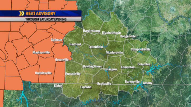
HEAT ADVISORY through Saturday evening for Christian, Hopkins, McLean, Muhlenberg and Todd counties.
NOWCAST THROUGH LATE MORNING:
Warm and humid with a chance of an isolated shower.
6am: Mainly Clear, Isolated Showers 71°
8am: Partly Cloudy, Isolated Showers 76°
10am: Partly Cloudy, Isolated Showers 82°
TURNING HOTTER:
Our weather stays unsettled through the next couple of days, with more chances for scattered thunderstorms as disturbances move through. Otherwise, expect partial sunshine with hot and humid conditions. Highs will climb into the low 90s. Mid-90s are possible Thursday with heat indices likely to reach or even exceed 100 degrees both days.
THE HEAT BUILDS:
Some of the hottest, most humid air we’ve experienced this season will be felt late week into the weekend! As temperatures increase, rain chances decrease with high pressure building in. Highs will climb into the mid 90s late week into the weekend, with upper 90s possible Sunday into Monday. Afternoon heat indices at or above the century mark are likely late in the period. It will be important to keep yourself hydrated if you must work outdoors during the hottest times of the day.
—–
TODAY:
Hot & Humid, Chance of Thunderstorms…High 93, winds W-8
Precip Ch. 40% – Rain Amount 0.15″
TONIGHT:
Muggy with a Chance of Thunderstorms…Low 73, winds Light
Precip Ch. 40% – Rain Amount 0.15″
THURSDAY:
Hot & Humid, Isolated Thunderstorms…High 94, winds SW-7
Precip Ch. 20% – Rain Amount 0.05″
